Here you will find a variety of Nunavik Maps, illustrating the communities, land base, and Nunavik in context of Canadian Inuit regions, and the circumpolar area.
- Nunavik map
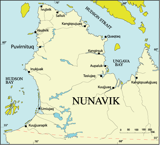
Nunavik villages. - Nunavik map 1997
Nunavik villages. Map available in English and Inuktitut. - Quebec map
Nunavik in Quebec. Map available in English and Inuktitut. - Circumpolar Region and their peoples 2000
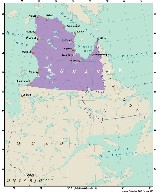
- Nunavik map 2000
Parks and parks projects in Nunavik. - Nunavik land regime and offshore claim
Category I & category II lands of Nunavik and James Bay Cree in part. - Nunavik & Nunavut map
Nunavik & Nunavut communities. - Location map of Nunavik
Population list per village. - Kuujjuaq category I & category II lands
Kuujjuaq land regime. - Canadian Inuit map
Settlement areas and population by region. - Kuujjuaq: Traditional and Actual Transport Routes
Dogteam and ski-doo routes.
Example taken from Nunavik land use data. - North America map
Location of the Canadian Inuit. - Welcome to Nunavik map 1997
- Nunavik circumpolar map 1996
- Nunavik offshore claim 1996
- Nunavik communities 1996